
Windows Tile Server
Windows Desktop Application high-performance map tile server.
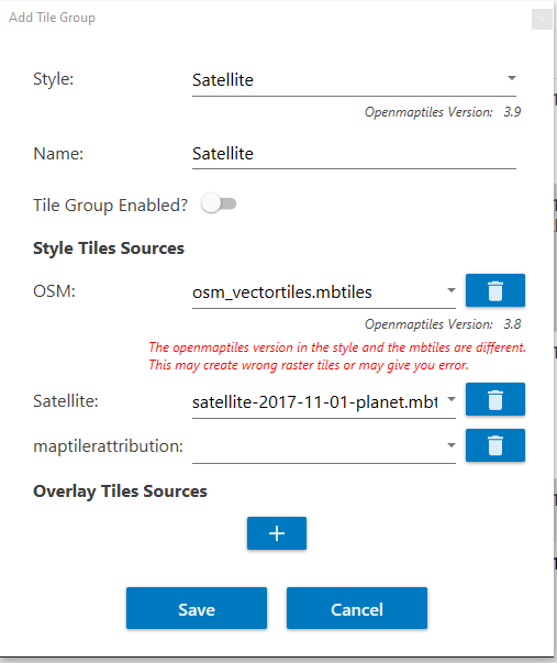
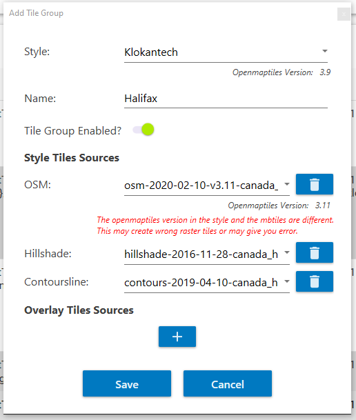
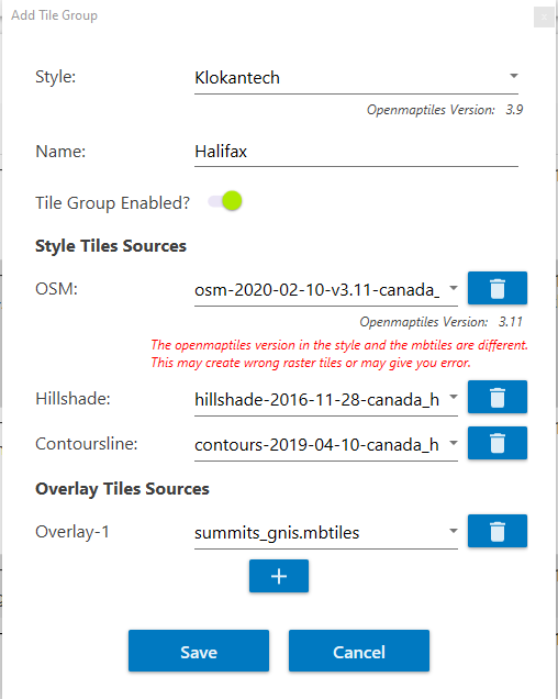
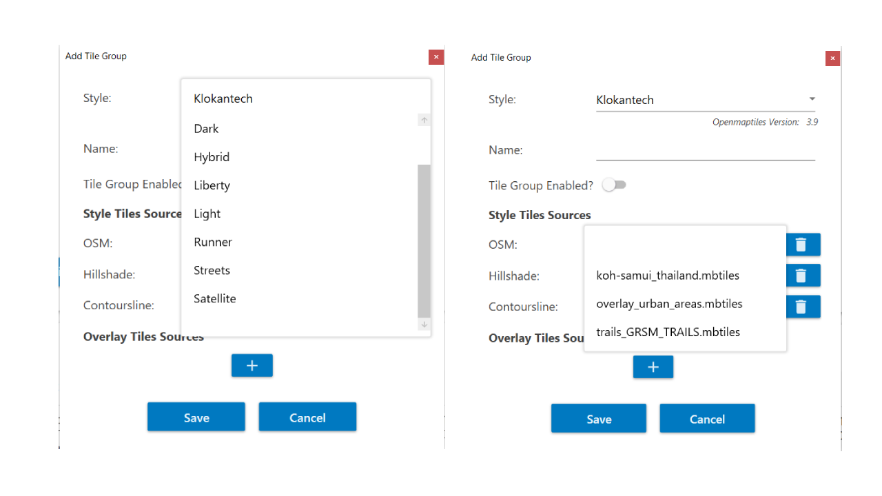
Advanced Capabilities provides vector tiles to raster tiles and tile group
blending/merging of tile layers into one endpoint.
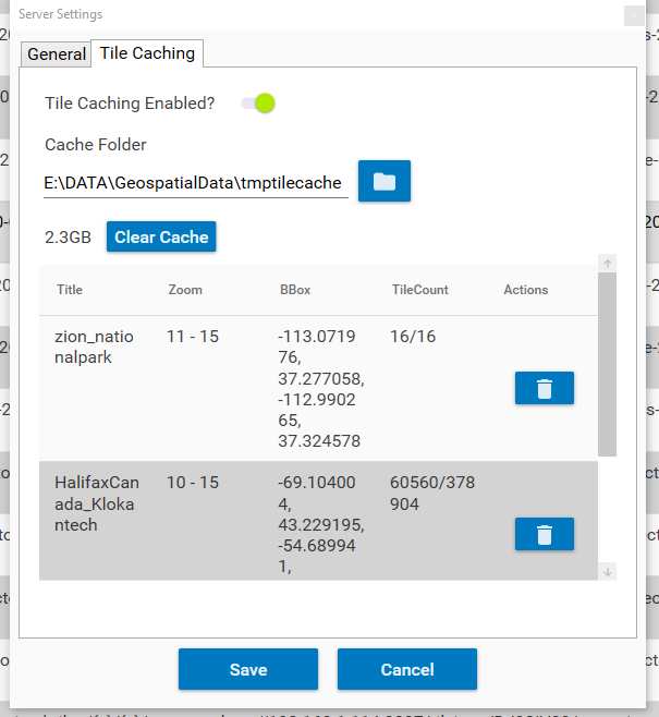
Tiles can be cached for performance so it’s NOT dynamic vector tiles to raster tiles it can use cache


$499.00
Discover Endpoints
The tile server has many endpoints to make it convenient for applications to access it’s services as well as users to discover.
TMG Advanced Map Viewer
TMG Advanced Map Viewer allows rapidly connecting to data being served by tile server and local files and internet mapping services.
TMG Tile Server
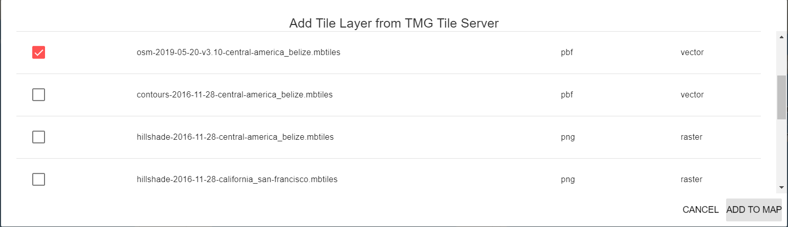
Rapidly Connect to the endpoints of the data being served by Tile Server
Discover Services
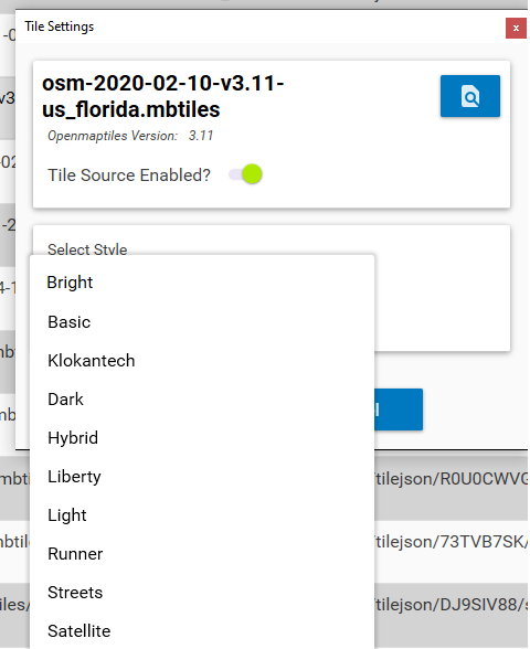
This is a web page that lists all the data being served and makes it easy to copy the URL’s. If you are using vector2raster or tile group this is where you copy the URL of the XYZ
Services
Endpoint that Shows all tile layers (vector tiles, raster tile, elevation/terrain tiles) from mbtiles or gpkg as JSON response. The Map uses this and allows rapidly connecting to the data.
Filelist
This endpoint that provides a JSON response listing all static map files (geojson, kml/kmz, csv, gpx, etc) The Map uses this and allows rapidly connecting to data
WMTS
OGC WMTS GetCapabilities Response XML that lists all the tile layers being served by the tile server.
COG
This endpoint is a JSON listing of the available COG’s being served.This is a specialized version of the GeoTIFF Specification .TIF or .TIFF with a schema that makes it easy to access over the web.
Data Distribution
This is a JSON response that provides the full path to all files loaded into the file server. This turns it into an edge server for distributing the actual data to people on the same network that want to download the source data.


Support for Personal PFX File and HTTPS
Supports users to add their PFX file to enable HTTPS/SSL with their tile server endpoints.
Configure local Domain Name with Tile Server IPs
Supports users to serve local quantized mesh terrain tiles and view them on supported systems.
Support to serve Quantized Mesh Terrain Tiles
Supports users to serve local quantized mesh terrain tiles and view them on supported systems.

Map Features
Add Mapping Services

Shapefile

Geopackage Features

KML

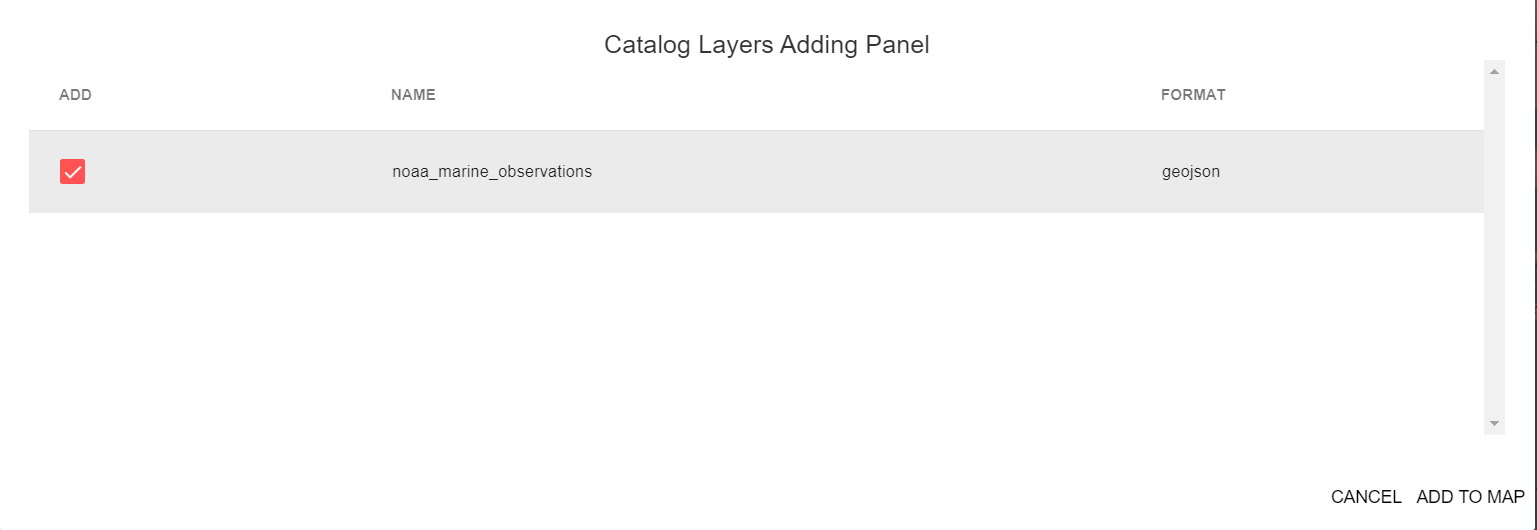
GeoJson
Add Mapping Services

WMS

XYZ

ESRI MapServer

PBF Layer
Why this is important , Unique and Innovative?
Recovery and Damage Assessment from Storms where infrastructure is not available
Serve data at the edge or environments disconnected from the internet
Use on ships to serve marine nautical data
Purchase includes one install
If you are interested in a license key valid for multiple installs or multiple apps
please contact us →
Using Open Standards can connect with any mapping client on the network
ESRI ArcMap, ArcGIS Pro, QGIS Desktop, UDIG, Global MApper, Manifold
Ease to Use and Easy to install
No need to use a docker container or use nodejs or configure a web server