Portable Tile Server (iOS and Android)
Rapidly Serve Geospatial Data
to Mapping Clients/Apps/Software or to Advanced Map Viewer (2D and 3D that’s included Available to any Client in Browser)
Serves Cached Map Tiles from MBTILES & GPKG-GeoPackage
Available as Tile URL’s:
-
OGC API TILES/XYZ with tile.json
-
OGC WMTS with getcapabilities.xml gettile
-
OSGEO TMS with tileset.xml
- This includes MapBox Protocol Buffer Format (PBF) vector tiles and raster tiles
- The application supports Vector Tiles inside GPKG following new OGC Extensions
- GeoPackage Raster Tiles should only be 3857 Spherical Web Mercator /Auxillary Web Sphere Spatial Reference System/Projection.
GeoPackage Vector Features Made Available as:
OGC API Tiles/XYZ dynamic PNG Raster Tiles
(points, lines and polygons) for efficiently handling Big Data with basic styling
OGC API Features
(html, JSON and GeoJSON)
Query Searchable REST API Endpoint
Serves Terrain-Elevation Tiles (Quantized Mesh .Terrain Tiles, Terrain-RGB, Terrarium, Heightmap, others) from MBTILES and GPKG
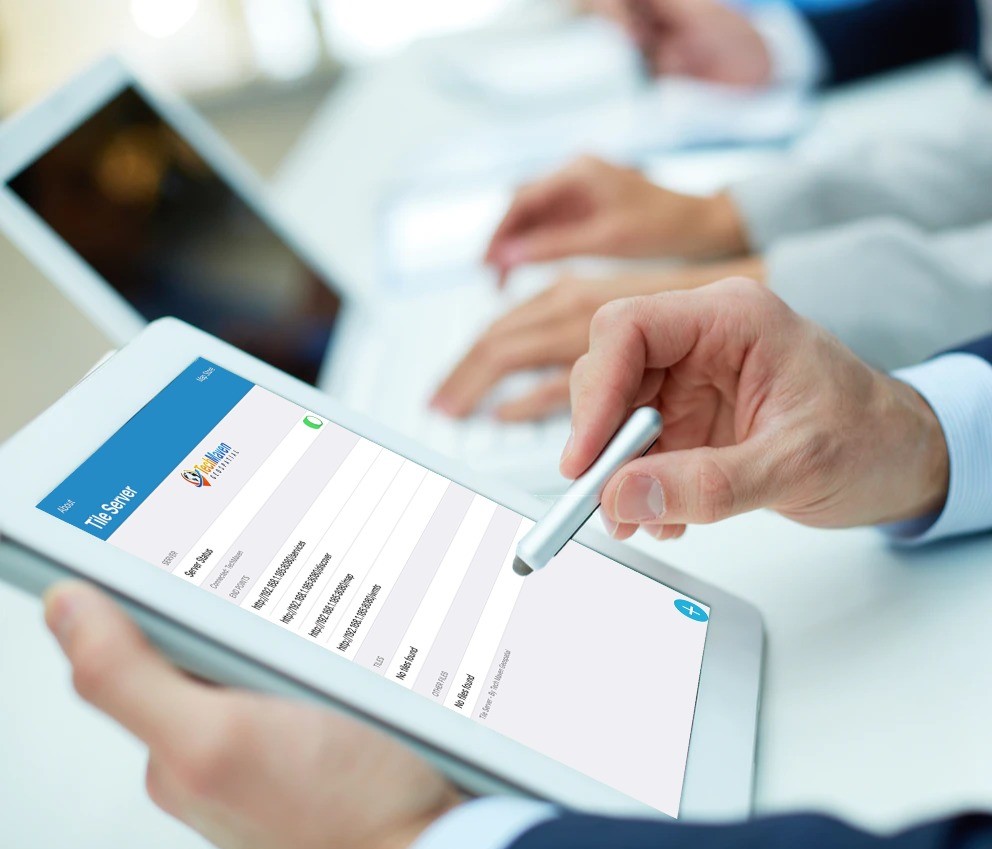
Serves Static Geospatial Data (GIS) files as URL
Serves Static Geospatial Data (GIS) files like KML/KMZ, GeoJSON, CSV, GPX, CZML, SHP, zip file and others.
Serves 3D Geospatial Data:
OGC 3DTILES as URL with tileset.json or as entire dataset as zip file (3D data like Buildings b3dm, point clouds pnts, instanced 3D features, composite and newer format of Cesium/OGC 3DTILES)
Serves GLB/GLTF 3DModels
Serves Cloud Optimized GeoTIFF (COG) as URL (not as tile url)
Converts Vector Tiles with Stylesheet to Raster Tiles (this can include multiple layers and raster tiles Part of the Sources in the stylesheet) for a bounding box and minzoom and maxzoom level (saves it as MBTILES)
Acts as Edge Data Distribution Server
Users Can Download the Source Data
Available from Discover web page or /data_distribution JSON endpoint
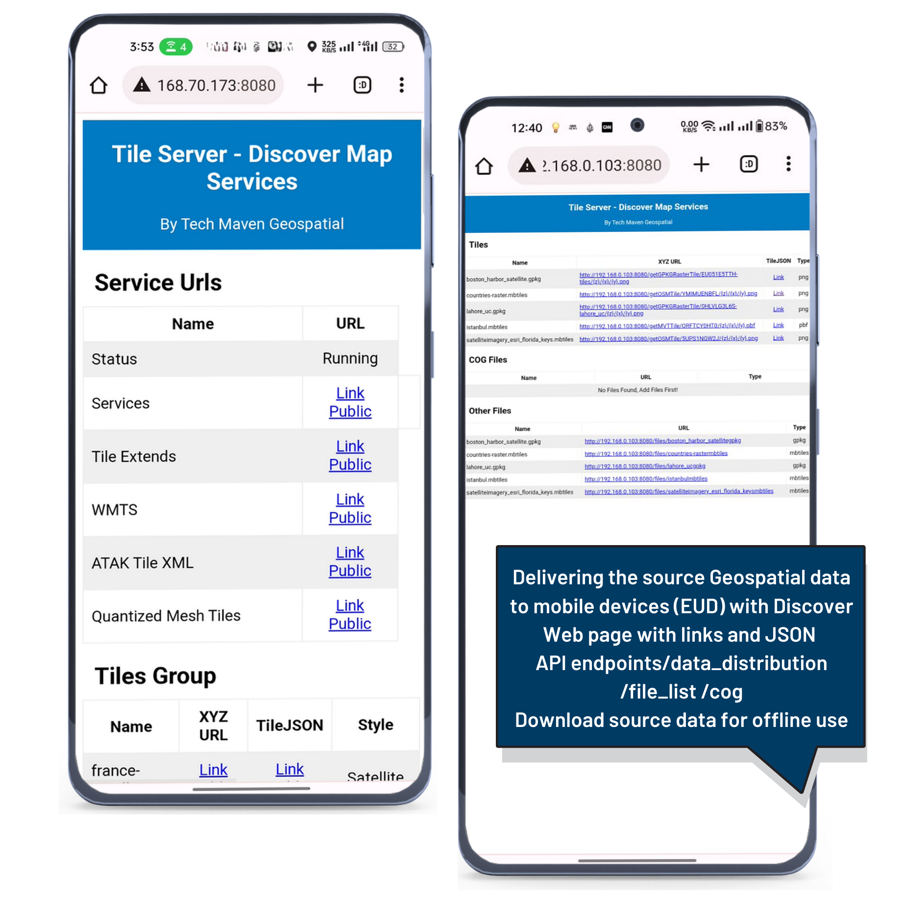
The perfect Edge Geospatial Data Server and Data Distribution Server -Delivering Source Data as Well
Rapidly Build Published Maps.
Create a Map Catalog with our Catalog Generator Tool (saves it as JSON) the application serves Catalog JSON Map Configurations for 2D and 3D Map for published maps available over the network.
Integrated Map Viewers
Includes 2D and 3D Map Viewer Launch Browser in nearby tablet, laptop or desktop and you’ve got map. These maps allow rapidly adding layers and local and internet hosted files and adding dynamic and cached OGC and ESRI Mapping Services
TAK Compatibility
Tested with ATAK, ITAK, WINTAK and Tech Maven Geospatial’s App and offers /atak endpoint which is zip file of tile.xml or individual tile.xml for each layer for rapidly configuring these apps
Tile Details View
Includes data from the metadata table and the URL’s and Tile JSON QR Code available
Discover Web Page for sharing the URL’s in browser to all clients that want to access the services and maps and data
Discover-able Endpoints and webpages
WiFi turned on is required to run this app and have it get an IP Address from the network.
Serve Data to other Apps or Desktop/Laptop
The app can serve data to other apps or desktop/laptop GIS mapping software on the network.
ArcMap and ArcGIS Pro can access it via OGC WMTS.
OGC API Features queryable API
Search and return JSON and GeoJSON
Portable Tile Server (Android) Wifi is not Requires
Portable Tile Server works connected to a Network (WiFi or via USB C OTG Connector via Adapter/Hub/Wired Ethernet) Can serve data locally to the same EUD – End User Device or any device part of that same network. The network can be a battery powered WiFi Travel Router (Internet is NOT required)

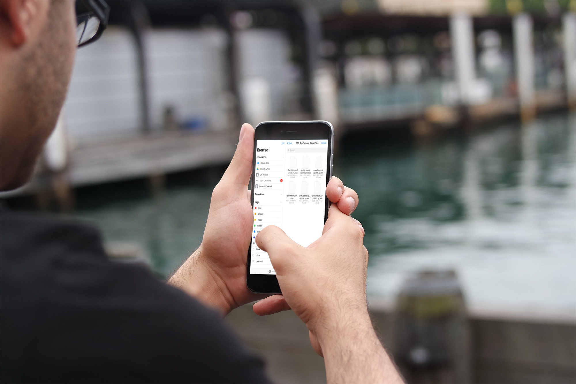
Discover-able Endpoints
and Webpages
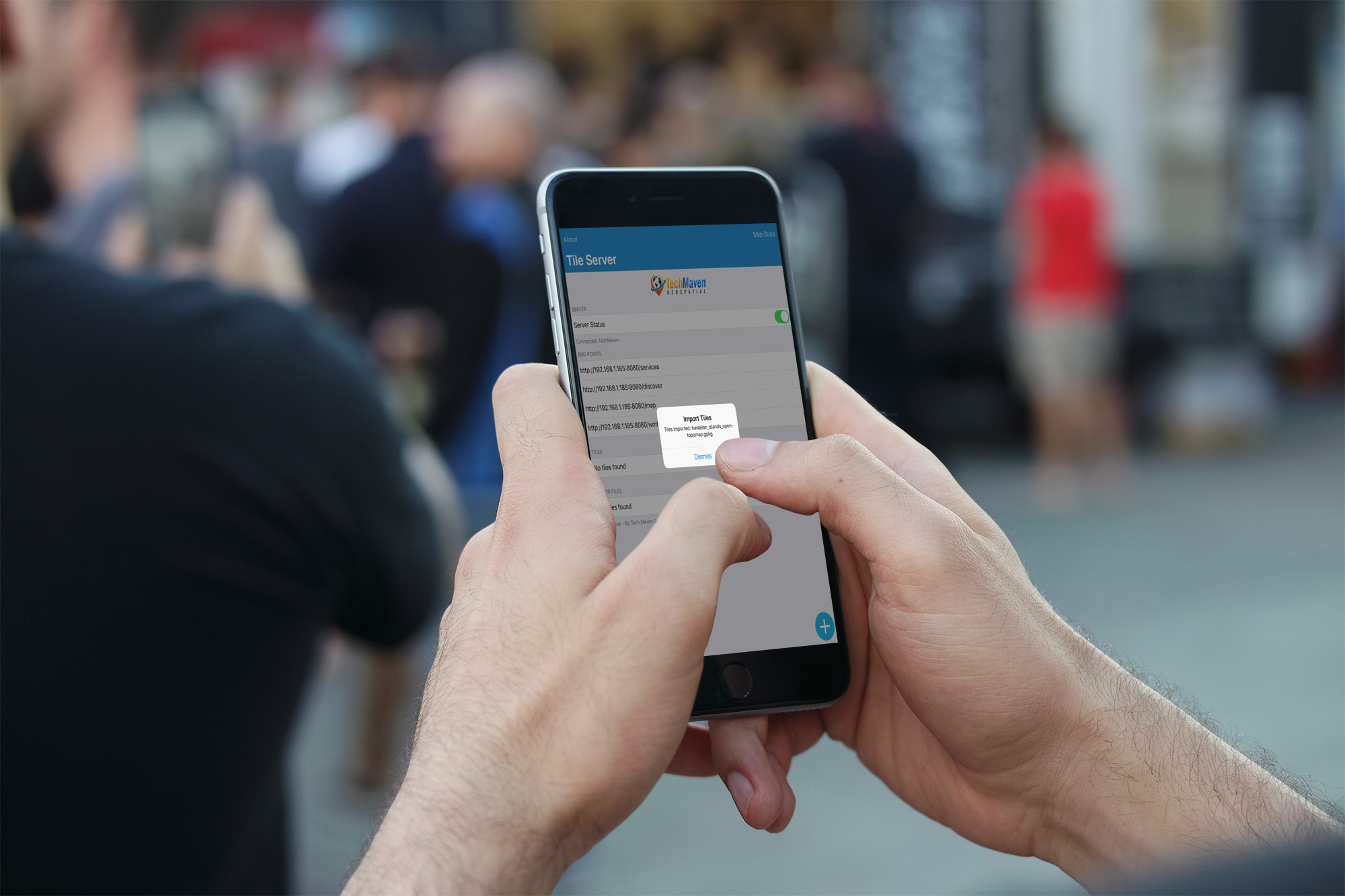
Easily integrate into any mapping system – we use known standards:
OGC API Tiles/XYZ
OSGEO TMS
OGC WMTS
We’ve tested the tile server with both web and desktop mapping software (QGIS Desktop, Global Mapper, UDIG, ESRI ArcMap, ESRI ArcGIS Pro, GeoMedia, Autodesk AutoCAD Map, Manifold, MapInfo, Kongsberg Geospatial Mapping Engine(s), GRASS, and others.)
It’s the perfect portable solution to serve data for XR/AR/VR/MR Game Engines (Unity, Unreal Engine, NVIDIA Omniverse) with Cesium, ESRI ArcGIS, MapBox, Other Geospatial Data Visualization and Situational Awareness apps.
Works with WiFi Network (this can be Battery Powered Travel Router or Corportate Network) or without Wifi to Serve Data to another app on the same EUD-End User Device
ATAK iTAK WINTAK MCH Compatibility
Tested with ATAK, ITAK, WINTAK and Tech Maven Geospatial’s App and offers /Atak Endpoint which is zip file of tile.xml or individual tile.xml for each layer for rapidly configuring these apps. Open this zip file in your end user device browser to download and then us the import option (not data package) to add these as URL’s
Game Engine Compatibility
-
Works with Cesium for NVIDIA Omniverse, Unity and Unreal Engine
-
Works with ESRI ArcGIS For Game Engines Unity and Unreal Engine
-
Works with MapBox SDK for Game Engines
PRICING
The app is free for 7 days trial and then unlock it with a $4.99/year subscription
Need Foundational GEOINT Basemaps, Overlays and Terrain-Elevation?
Optionally, users can purchase via in-app subscription access to our Pre-Staged Ready to Go Offline Data
(Basemaps, Overlays, Terrain-Elevation ) in MBTiles format. (available for regions, Countries, US States, Canadian Provinces)
Other Capabilities:
Integrated Map Viewers (Not part of app screen but available in browser on device or anyone on that network) 2D and 3D Map
The Maps are accessible on the same device (phone/tablet) or from any device/computer on the network.
The 2D Map is powered by OpenLayers supports digitizing/drawing, has OSM vector tile basemaps with a style picker, raster basemap selector, supports adding mapping service URL’s like Raster Tiles, Vector Tiles, WMS and others.The map offers in-app dynamic vector tiling of loaded vector data for optimized handling of large data.
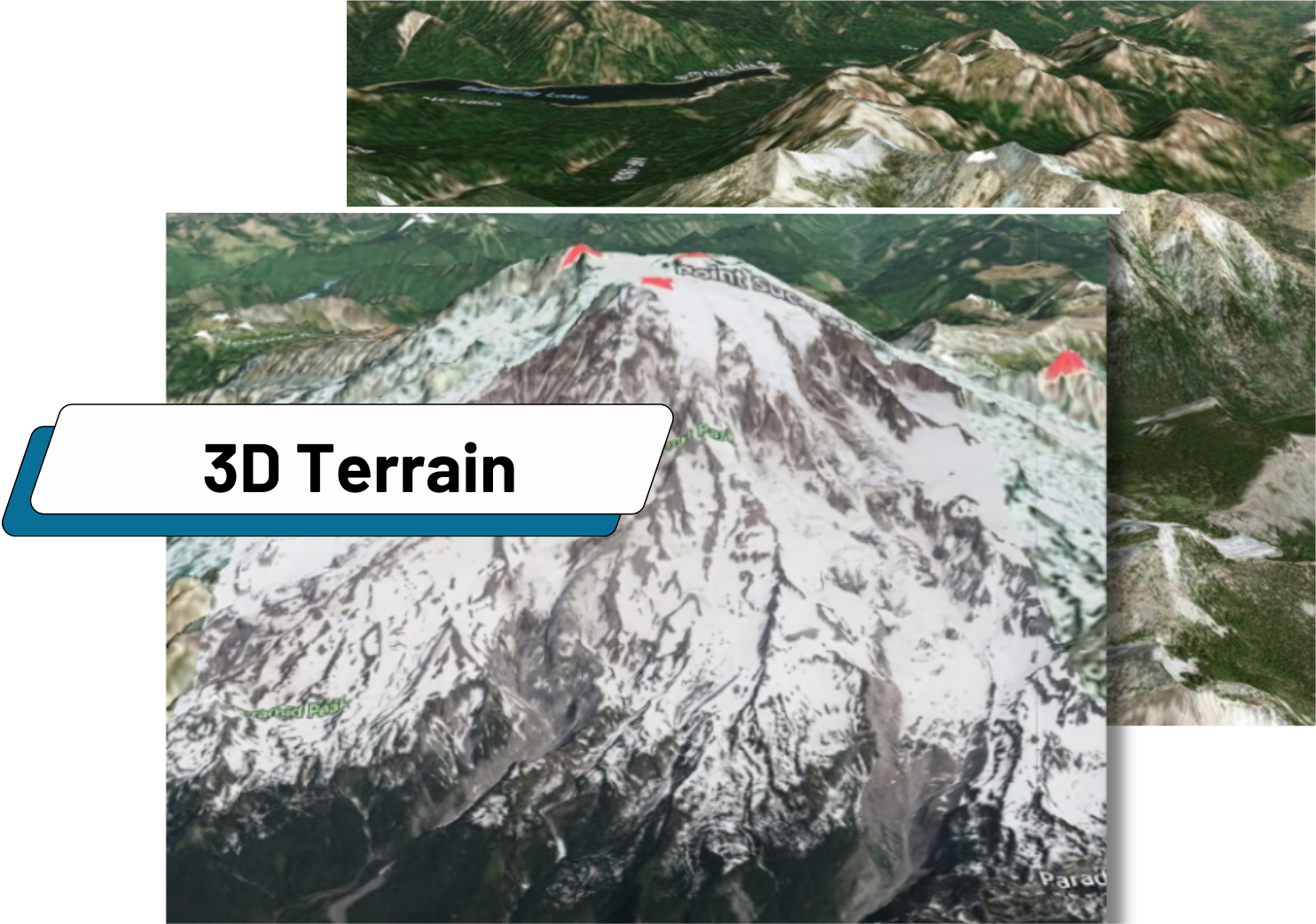
3DMap is powered by Terriajs (fork of Cesium) and supports 3DTILES and GLB 3DTILES and Quantized Mesh Terrain or ESRI LERC Terrain for 3D and 4D time enabled Geospatial Data Visualization.
Both maps include a Catalog Generator Web Application to paste in your URL’s and save a JSON configuration.
in-app Coordinate Converter
in-app Vector Converter
in-app Coordinate Converter
Build Configuration for 2D/3D Map Viewers
Tille Server iOS & Android
is proudly developed by Tech Maven Geospatial
Source code is available for purchase please contact us we would love to build a custom version for you as well.
